01
Satellite Exploration & Mine Planning
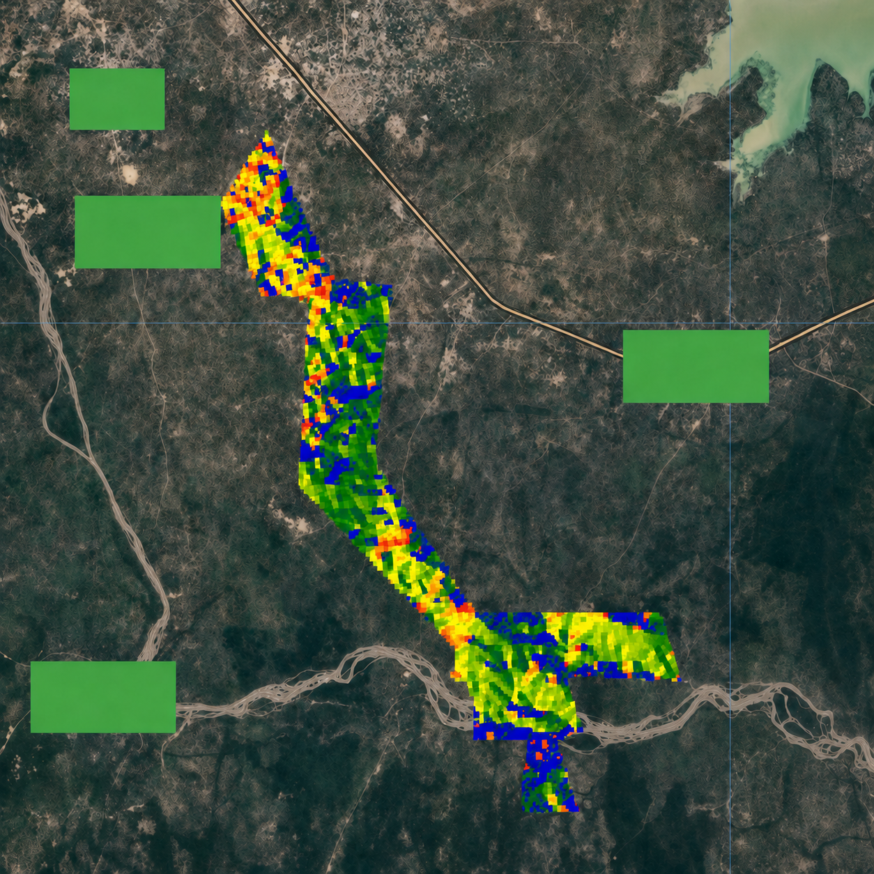
We use advanced satellite scanning and geospatial analysis to identify areas of mineral potential and support informed exploration planning. The resulting data helps define orebody targets, provides accurate GPS coordinates for priority locations and assists with the development of a detailed mine plan. This allows clients to focus their on-site exploration activities more effectively and reduce unnecessary time and cost.
Discuss This Service